
Intersect surveys
Topographical
Surveys from £399
Accurate Site Information. 4-Day Turnaround.
Keep your project moving with detailed topographical surveys for planning, design and construction. Get the ground levels, site measurements and clear drawings your team needs to make confident decisions and avoid costly changes later.

Who We Work With



What Our Client Says

Henry P
Director

"The whole process was very smooth from start to finish, with excellent communication and customer care. We'll definitely be working with Intersect in the future."
Mathew Bradshaw
11 months ago
I’ve had an excellent experience with Intersect Surveys Ltd. From start to finish, the team was professional, efficient, and easy to communicate with. They responded quickly to my enquiry, explained the process clearly, and delivered high-quality results right on schedule. More
Peter F
Commercial Director
"We've been working with Intersect for several years and have always found them to be reliable, efficient and good value for money. I can honestly recommend them."
Andrew Marshall
11 months ago
I’ve been working with intersect and Alex’s team for a few years now and after multiple gprs company’s I wouldn’t hesitate to recommend them! The attention to detail is second to none! The company you need to use for reassurance when it comes to utility avoidance.
Robert M
Site Manager
"The in-depth knowledge which Intersect Surveys have in their field is second to none. They're efficient, helpful and in my opinion, excellent value. "
Grace Sklopan
11 months ago
I have used intersect surveys twice and I can confidently say I will never use any other company. I always felt taken care of and that the job was done right!
Michael Ward
11 months ago
I’ve worked with Alex’s team for a couple of years now and I would definitely recommend them.
Amanda Nicholsan
a year ago
Great service, provided all the data I needed, and delivered it on time. Would definitely recommend!

Why Choose Intersect Surveys for Your Topographical Survey?
Your survey is the starting point for important project decisions. You need a team that understands what you’re planning and provides information your architect, engineer or contractor can put to use.
Intersect brings together surveying and engineering expertise, with experience across construction, commercial and infrastructure projects. From your initial enquiry, we focus on understanding your requirements and helping you get the right information for the next stage.

Experienced People, Practical Advice
Speak to a knowledgeable team that can help establish what your project needs.

Clear Information for Your Project Team
Receive survey data in formats that support your design and planning work.

One Team for Your Wider Survey Requirements
Combine your topographical survey with utility mapping or measured building surveys where required.

Support Across the UK
Work with one survey provider for projects in different locations.
What Does a
Topographical Survey Include?
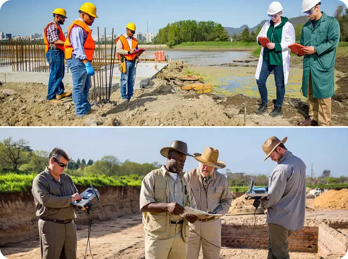
A topographical survey creates a measured record of your land, showing its levels and physical features.
Depending on the agreed scope, this can include:
Ground levels, slopes and contours.
Building footprints and structures.
Walls, fences and other physical boundary features.
Roads, footpaths and access points.
Tree positions and vegetation features.
Visible drainage features, gullies and service covers.
Ditches, streams and other water features.
The level of detail is agreed around your project, so the survey captures the information your design team needs.
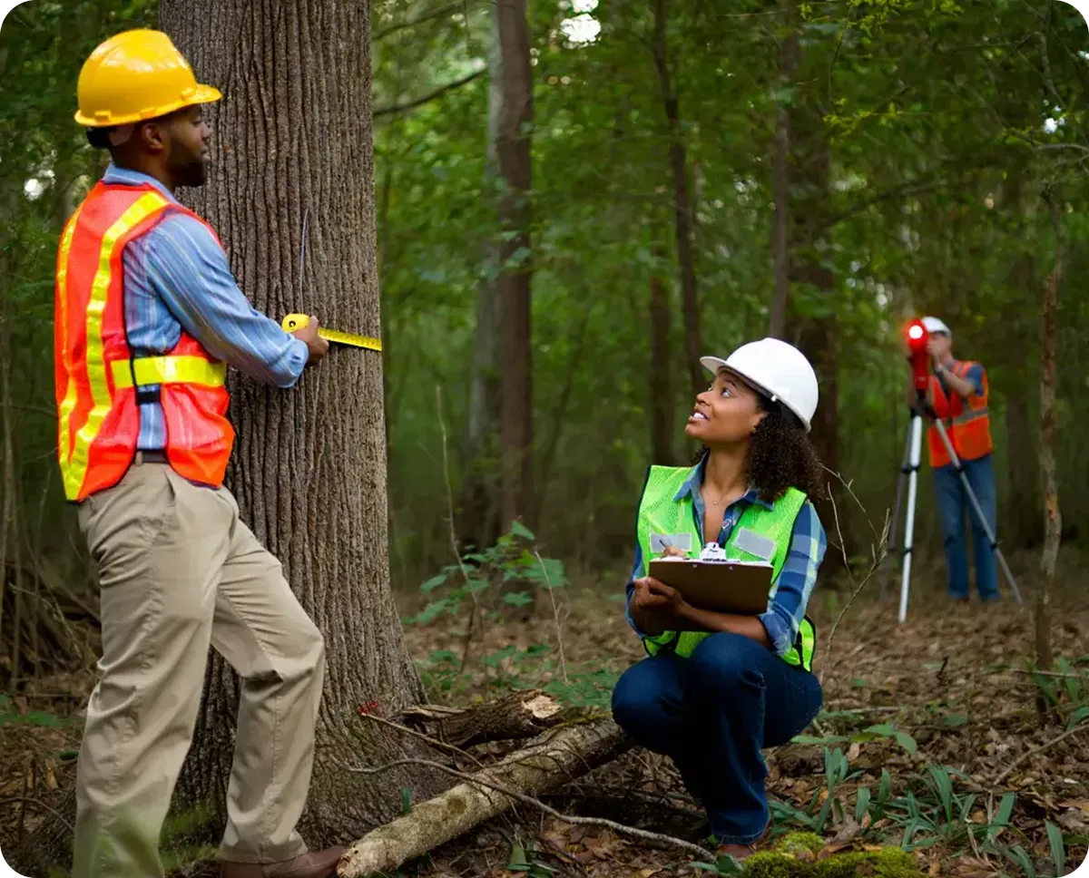
Avoid Expensive Changes Further Down the Line

A level difference, overlooked structure or access constraint can affect how a site is designed and developed.
Understanding these features early helps your team:
Plan building positions and layouts.
Account for changes in ground level.
Develop drainage and landscaping proposals.
Identify site constraints before designs progress.
Reduce the risk of avoidable revisions during construction.
Whether you’re developing a single plot or a larger site, accurate measurements give everyone a clearer starting point.
Clear Drawings.
Useful Site Information.
Your survey should be easy for your project team to work with.
Agreed deliverables can include:
CAD drawings for architectural and engineering design.
PDF plans for straightforward viewing and sharing.
3D terrain models for projects requiring detailed ground modelling.
GIS data for mapping and asset management.
Tell us what your architect or engineer requires, and we’ll confirm the appropriate outputs when preparing your quotation.

Arrange Your Survey in Three Simple Steps

Tell Us About Your Site
Share the location, approximate survey area and what you’re planning. Upload a site plan or survey brief if you have one.

Agree the Survey Requirements
We’ll discuss the detail needed, site access and your deadline before confirming the scope and quotation.

Receive Your Survey Drawings
Our team carries out the agreed survey, processes the measurements and prepares the outputs for your project.
Your Topographical Survey Questions Answered
What is a topographical survey?
It is a measured survey of the land’s physical features and elevations. Often called a topographic or topo survey, it provides a detailed base plan for design and site planning.
Can it support my planning application?
Yes. Survey information can help your architect prepare proposals that reflect existing site conditions. Ask your architect or planning consultant what detail is needed for your project.
How much does a topographical survey cost?
Pricing depends on the area, complexity, access and level of detail required. Providing a plan showing the survey boundary helps us prepare a quotation suited to your requirements.
How long will it take?
Timescales depend on the site and survey scope. Tell us when you need the completed results, and we’ll confirm availability and the anticipated programme, including drawing preparation.
Will it show underground pipes and cables?
A topographical survey records surface features, which may include visible service covers. Detecting and mapping buried pipes and cables requires a utility survey. Intersect can discuss combining this with your topographical survey.
Do I need to know the exact survey specification?
No. Tell us what you’re planning and share any requirements from your architect or engineer. We can help establish the appropriate scope.
Request Your
Topographical Survey Quote
Give your project an accurate starting point.
Tell us about your site and when you need the results. Our team will review
your requirements and contact you to discuss your survey.

Let’s Get Your
Survey Quote Startted
Full Name *
Email Address *
Phone *
Tell Us About Your Site
Where is the site located?
What do you need the topographical survey for?
Approximately how large is the area you need surveyed?
When do you need the survey results?

Intersect Surveys is one of the UK's leading survey providers. We offer services from utility detection, survey and engineering and monitoring solutions across a range of sectors.